
1
Pointe du Vauclin
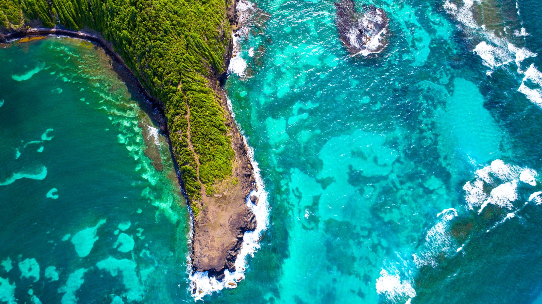
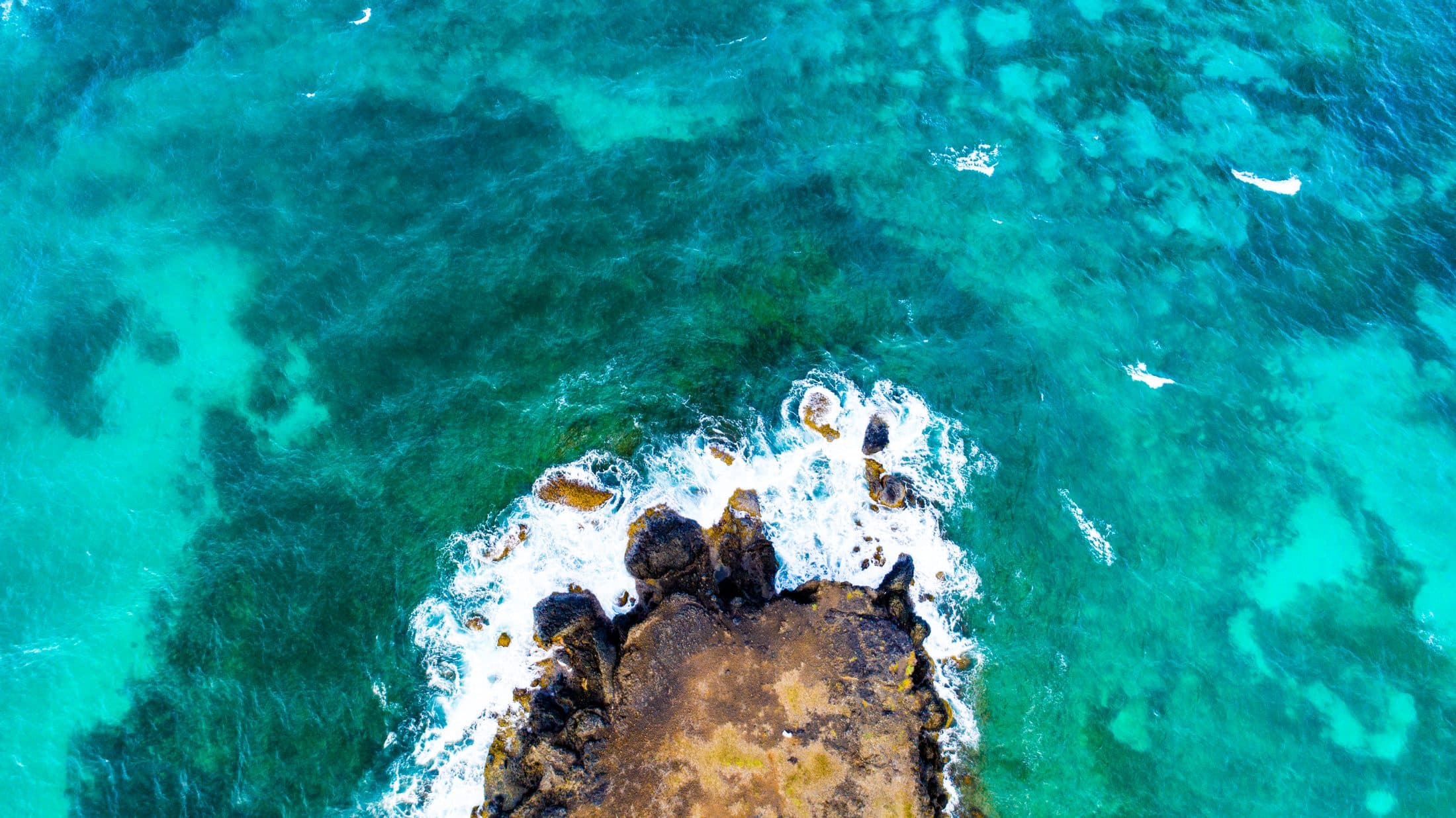
North of the village, the headland reaches out between reef and lagoon. The Boucle du Vauclin trail follows it, with viewpoints over the turquoise water.
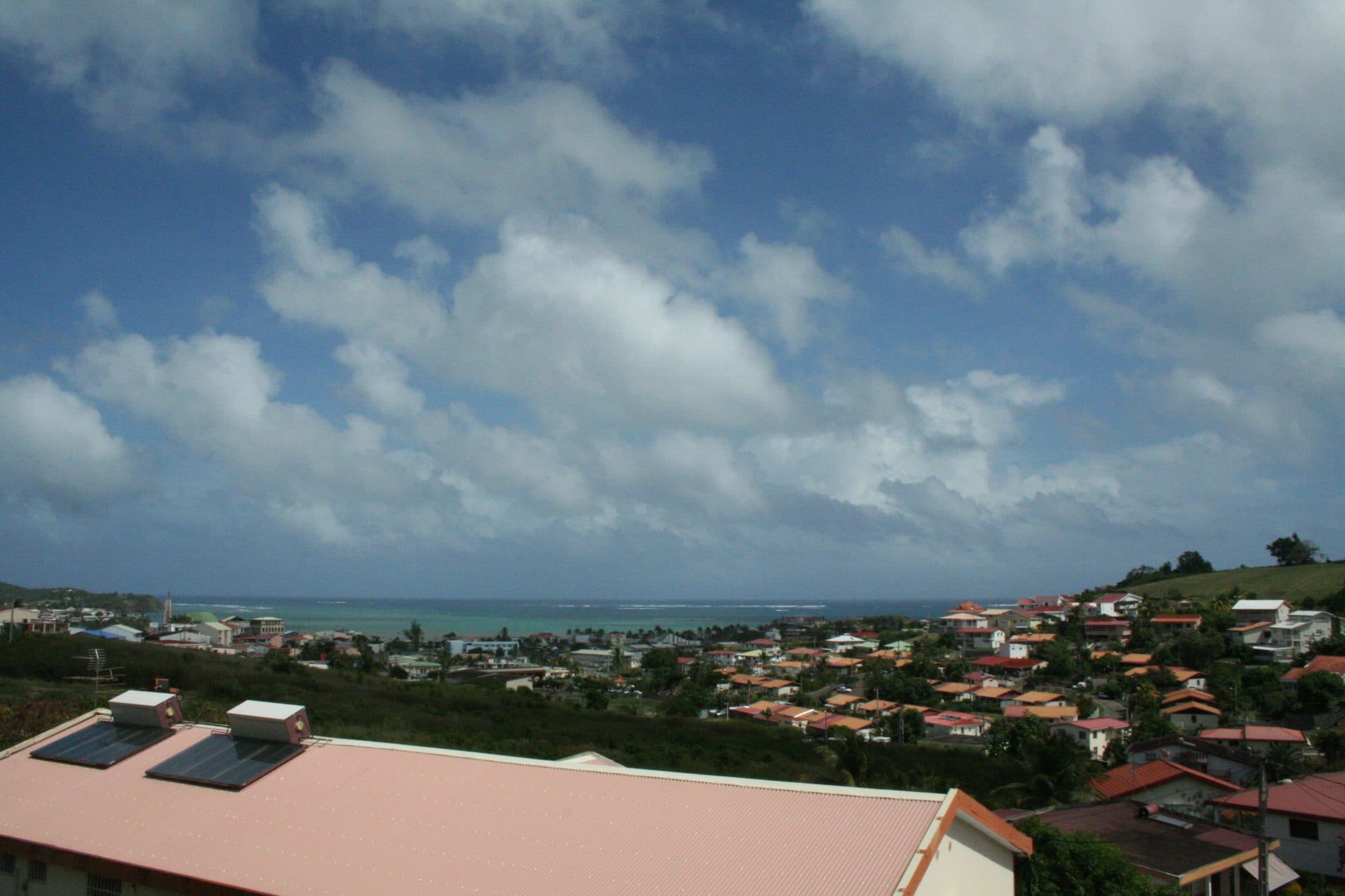
From north to south, the town’s Atlantic coast: mangrove-lined coves, a harbour where fish and conch are still landed, the Pointe Faula lagoon and the savannahs of Grand Macabou.
Aerial photograph © IGN – BD ORTHO (Open Licence).
Ten stops, from Pointe du Vauclin to Grand Macabou. Numbers refer to the map.
North of the village, the headland reaches out between reef and lagoon. The Boucle du Vauclin trail follows it, with viewpoints over the turquoise water.
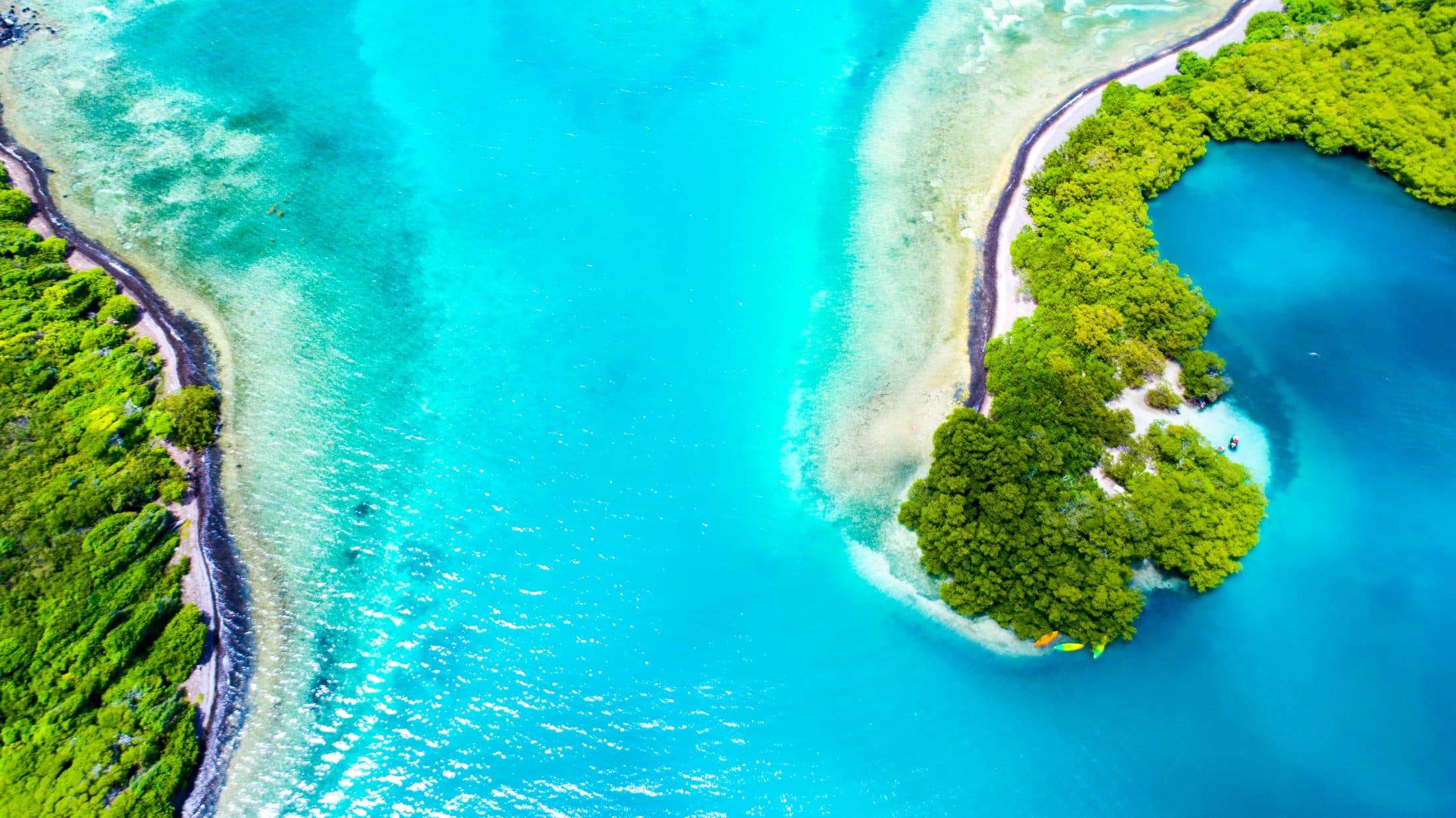
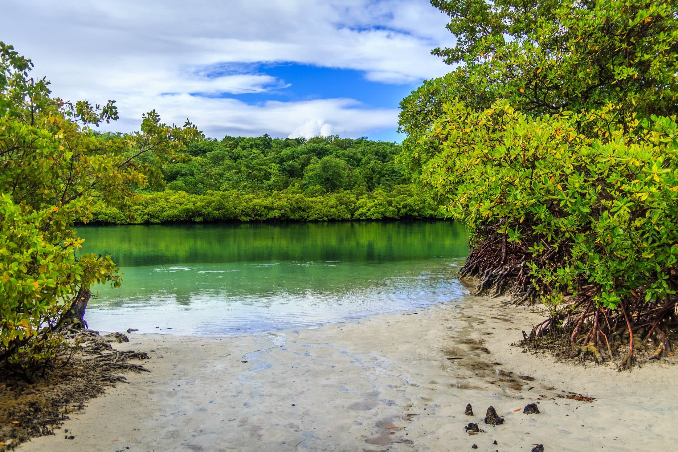
A sheltered, mangrove-fringed cove on the Boucle du Vauclin trail. The water is calm and shallow.
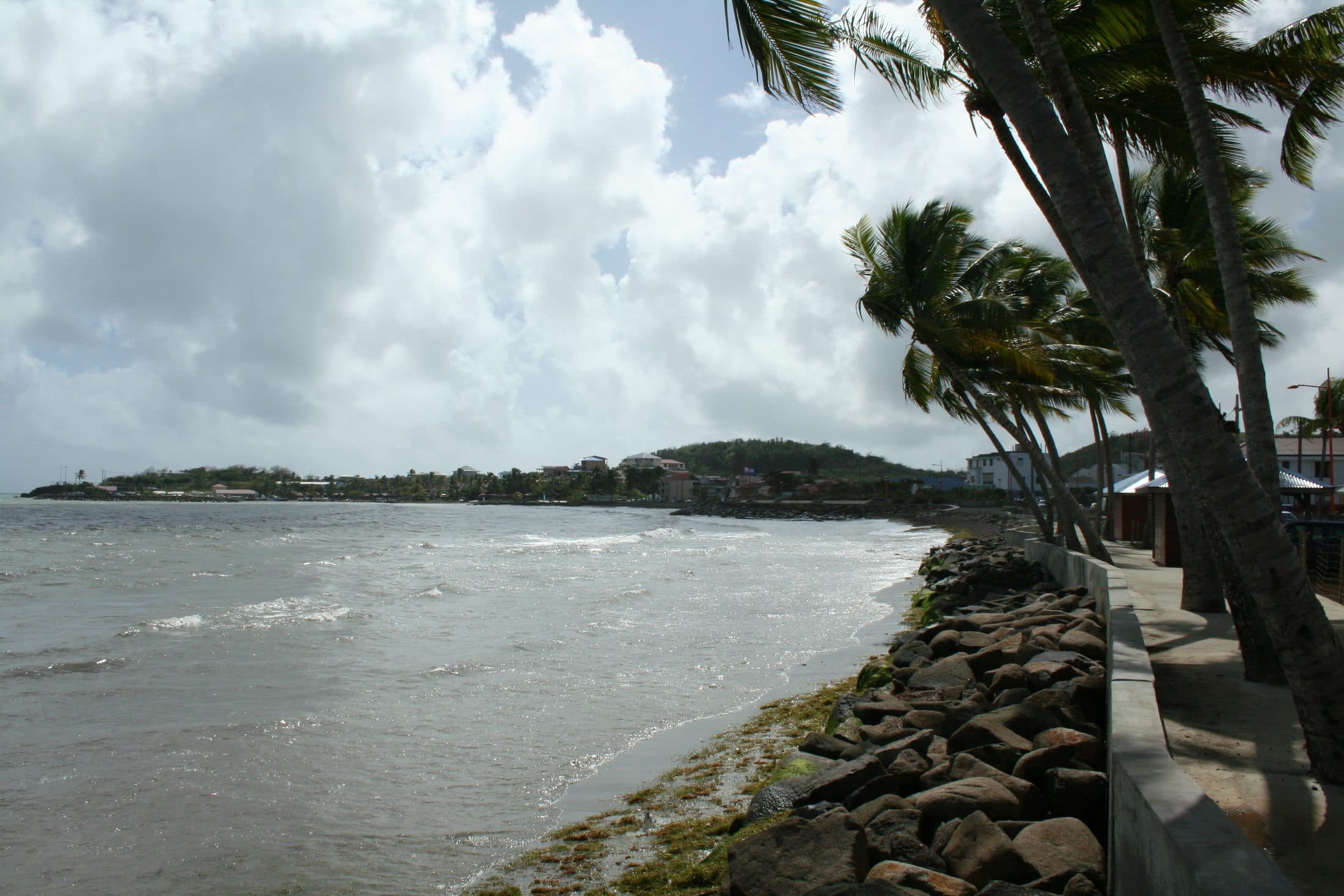
The village beach, just north of the harbour.
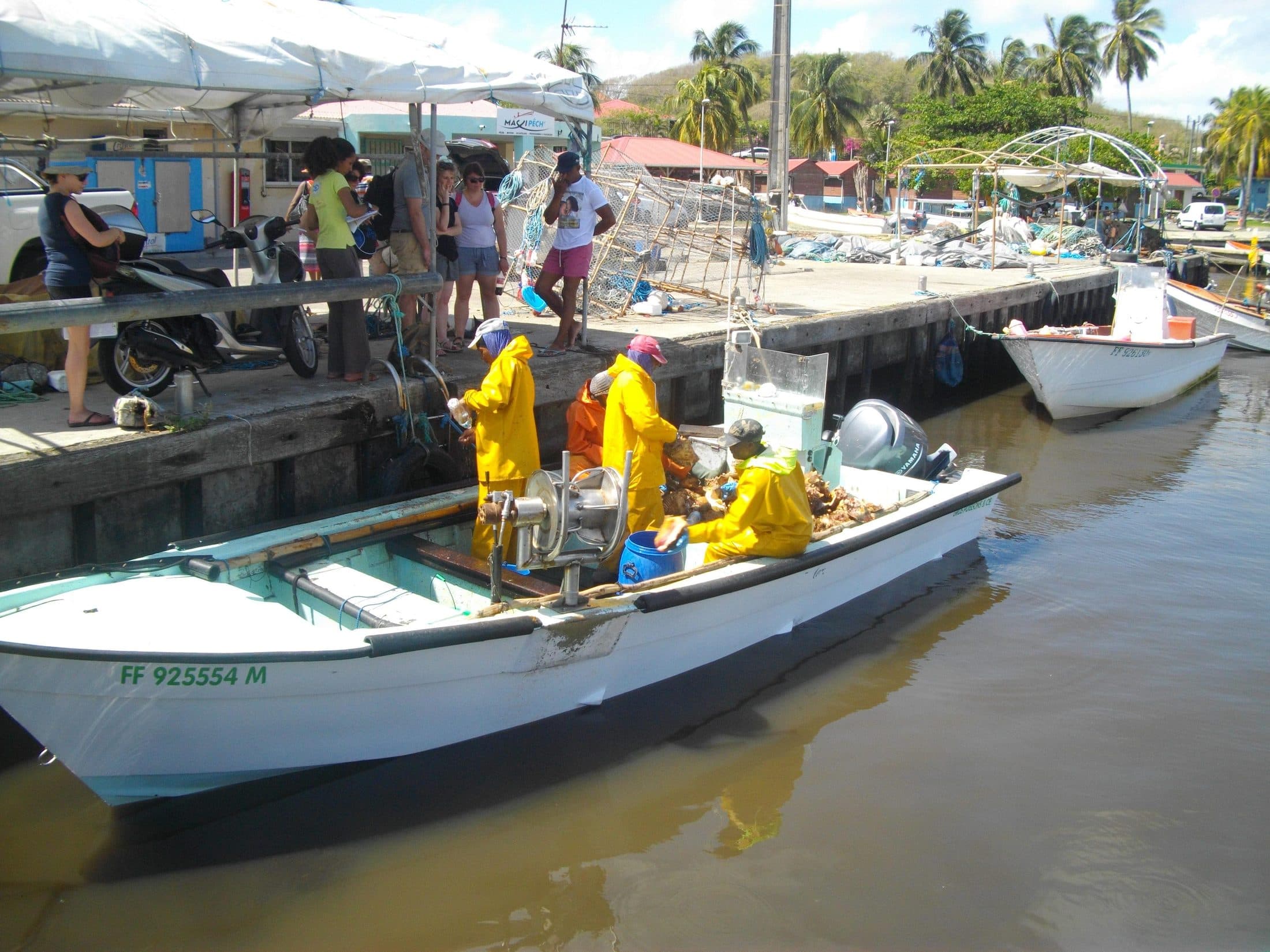
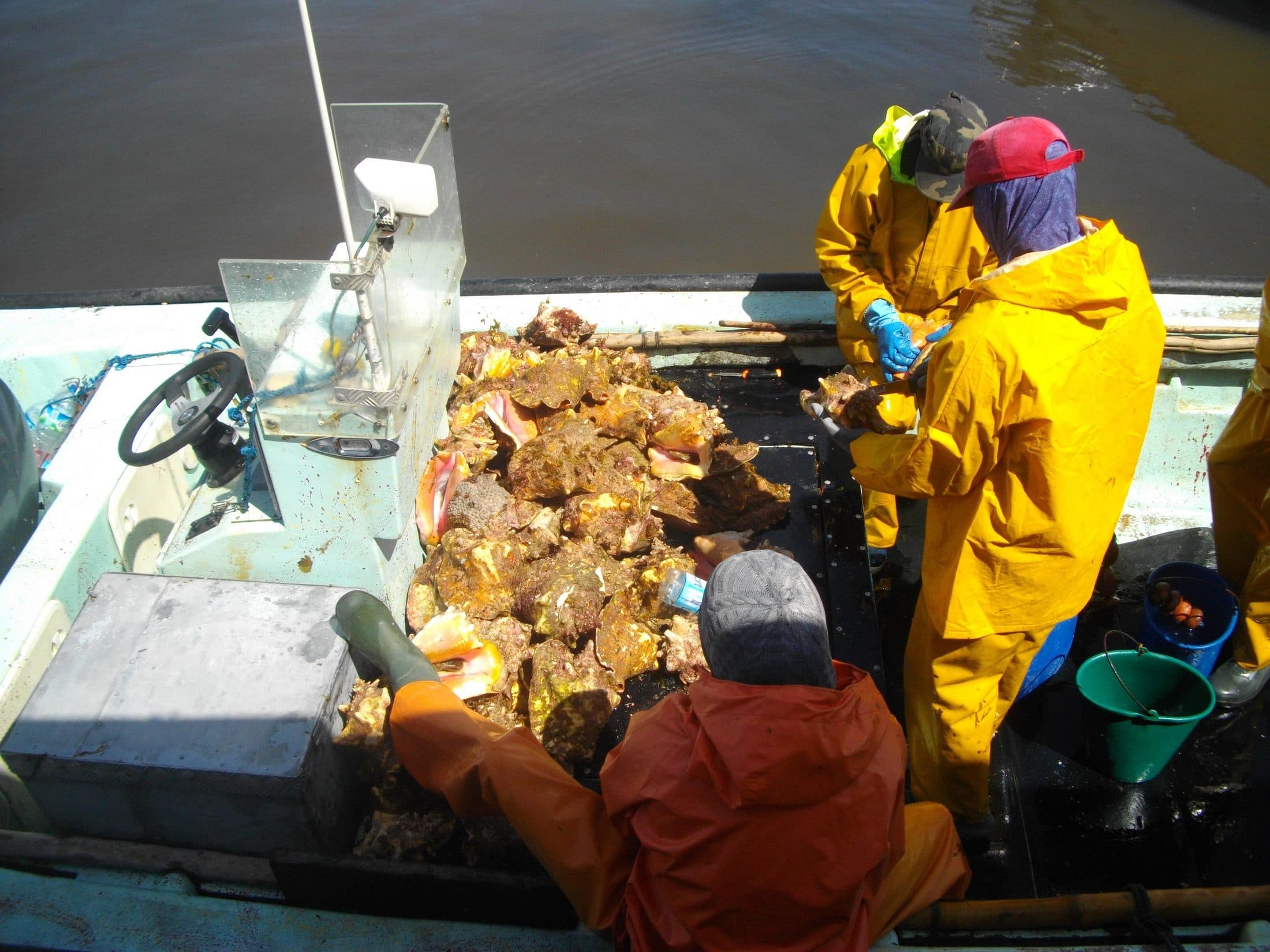
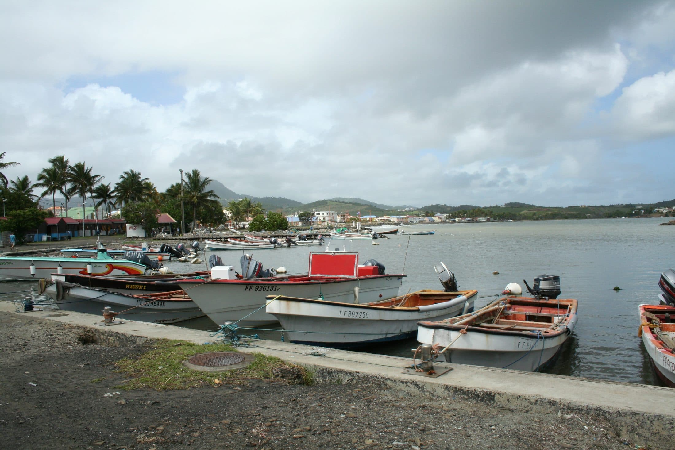
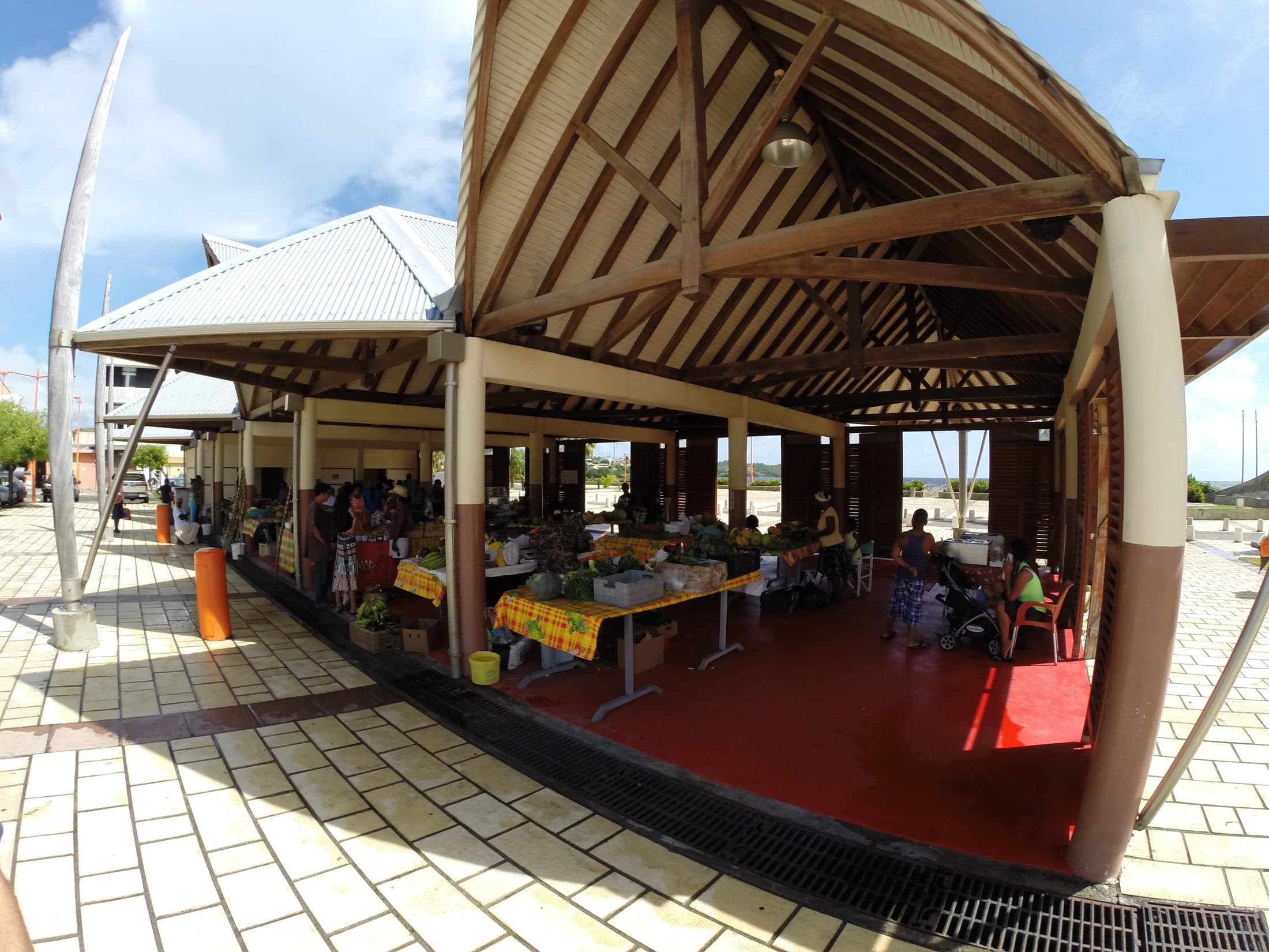
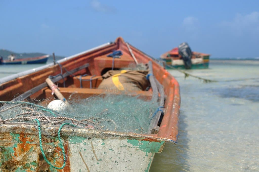
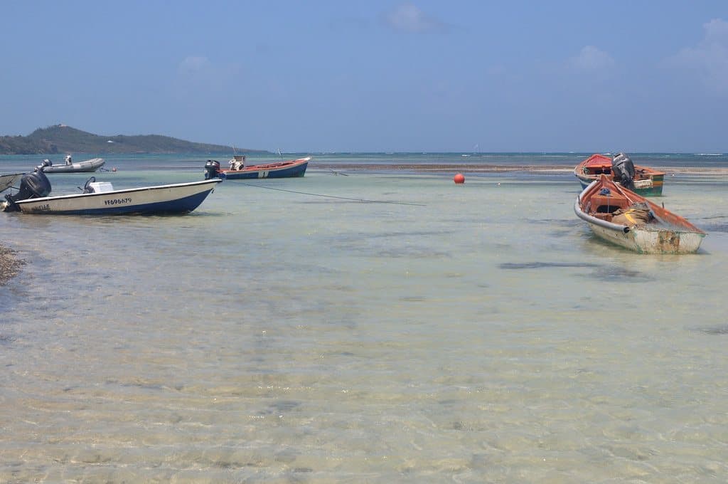
Le Vauclin is still a fishing village: when the boats come back, fish and conch are landed at the harbour. The covered market and the fishermen’s chapel are a short walk away.
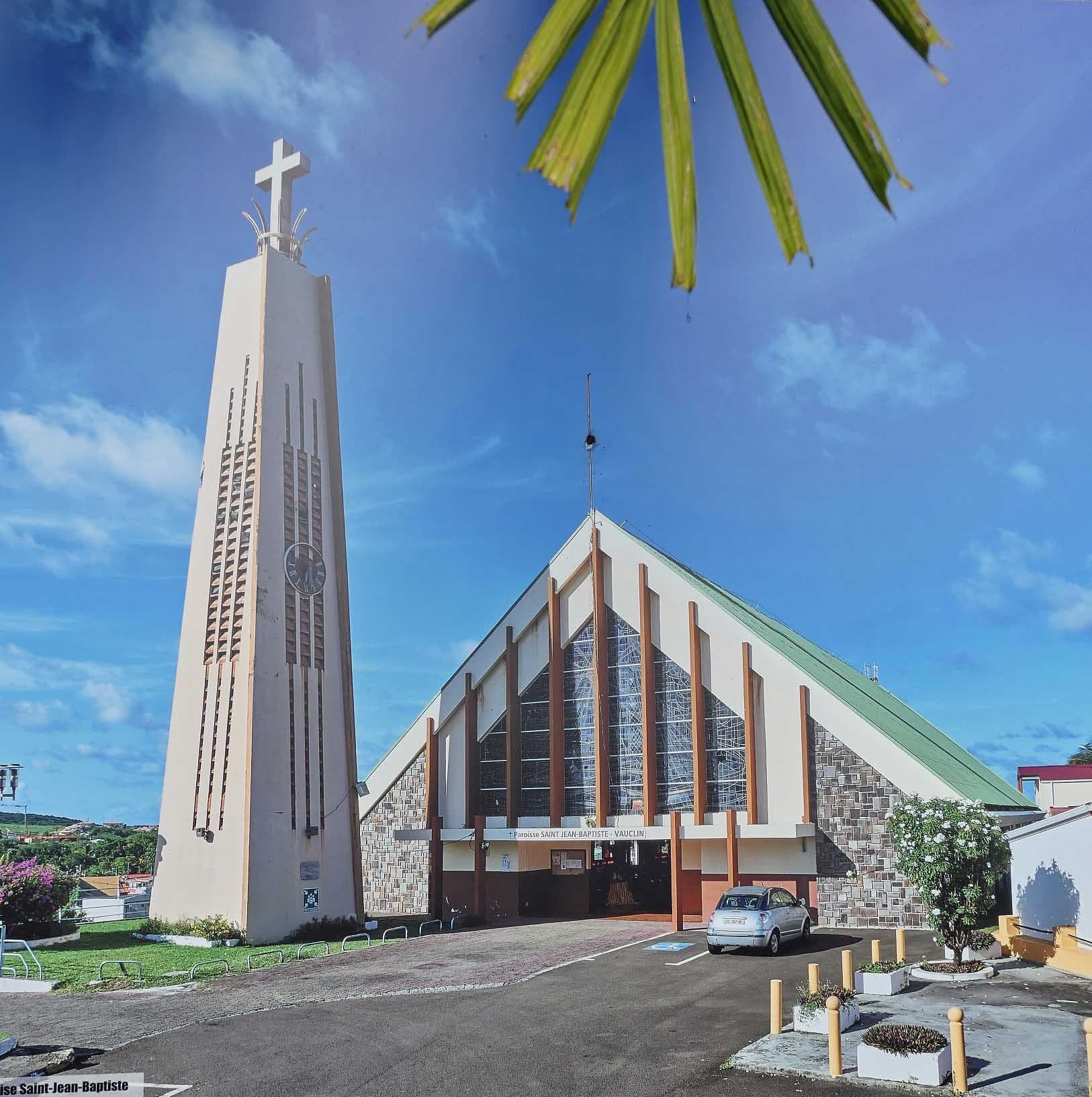
Around Saint-Jean-Baptiste church, a few places for Creole food or a pizza.
Addresses taken from OpenStreetMap: your hosts will tell you their favourites.

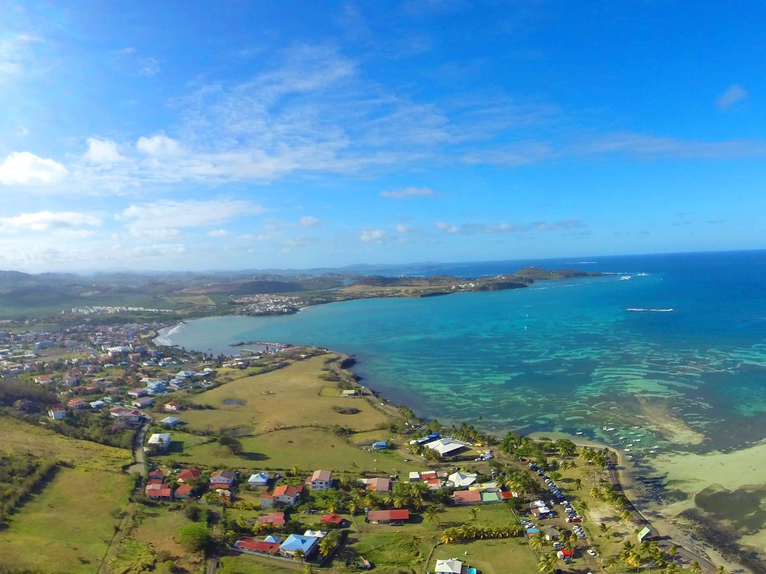
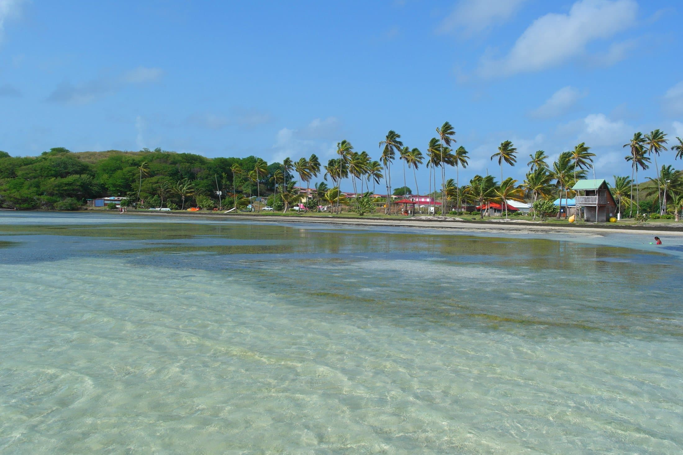
The shallow Pointe Faula lagoon is a well-known kitesurfing and windsurfing spot. On the beach, several restaurants with their feet in the sand.
Addresses taken from OpenStreetMap: your hosts will tell you their favourites.
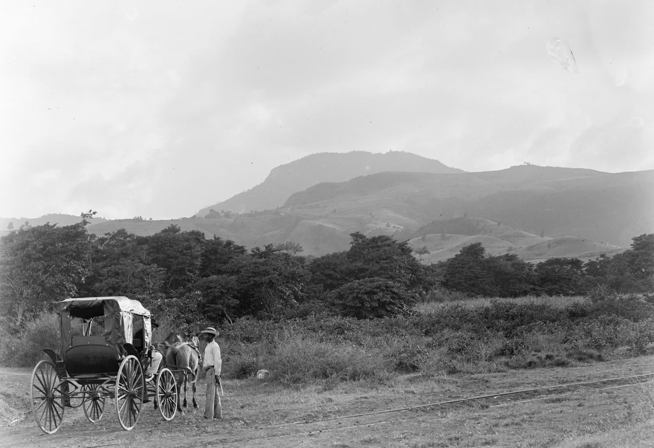
The town’s summit, inland, reached by a way of the cross. Here, the hill photographed in 1894 from the road to Le François.
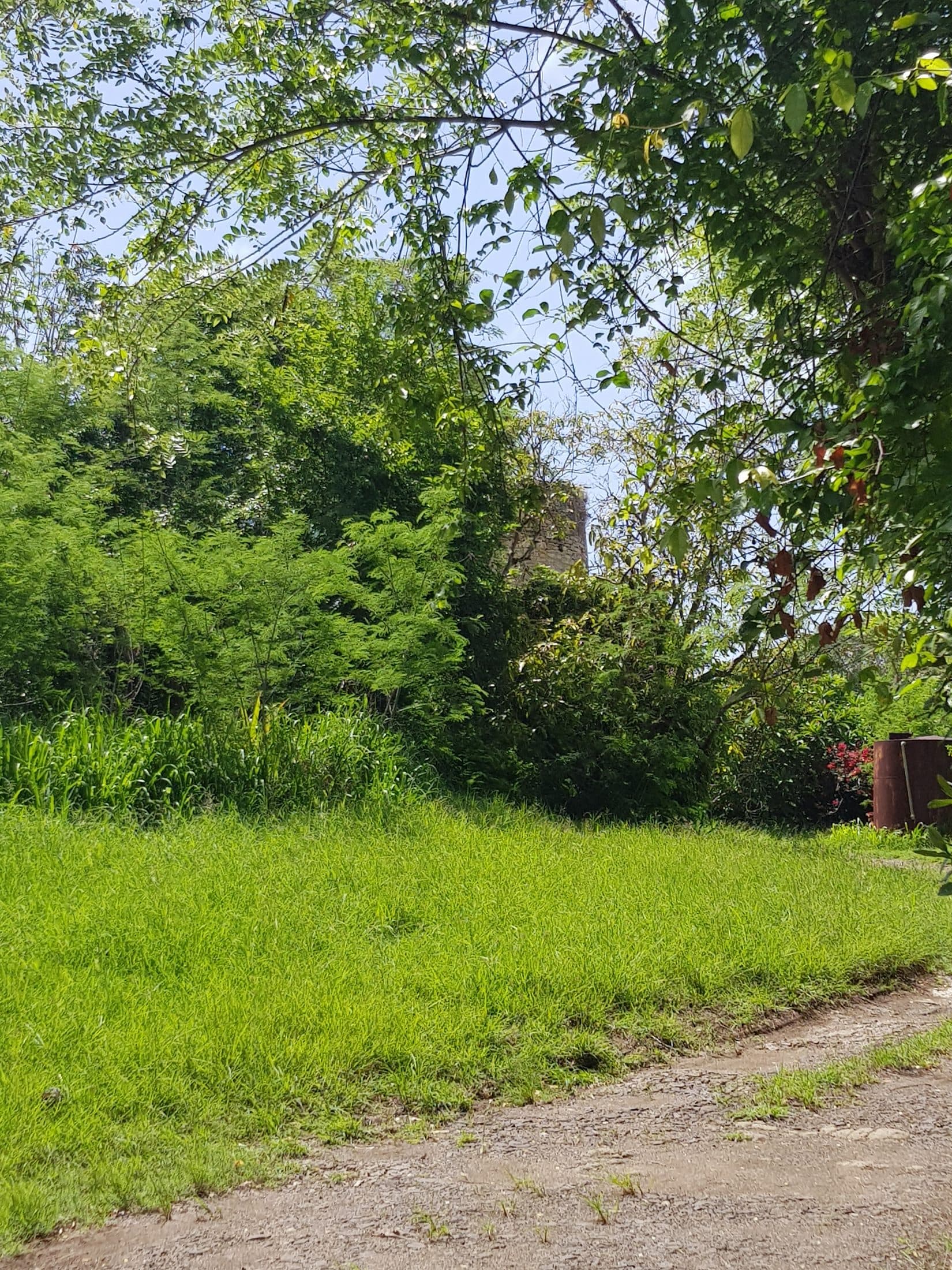
The overgrown ruins of the Malevaut plantation mill on the southern road, a relic of the plantation era.
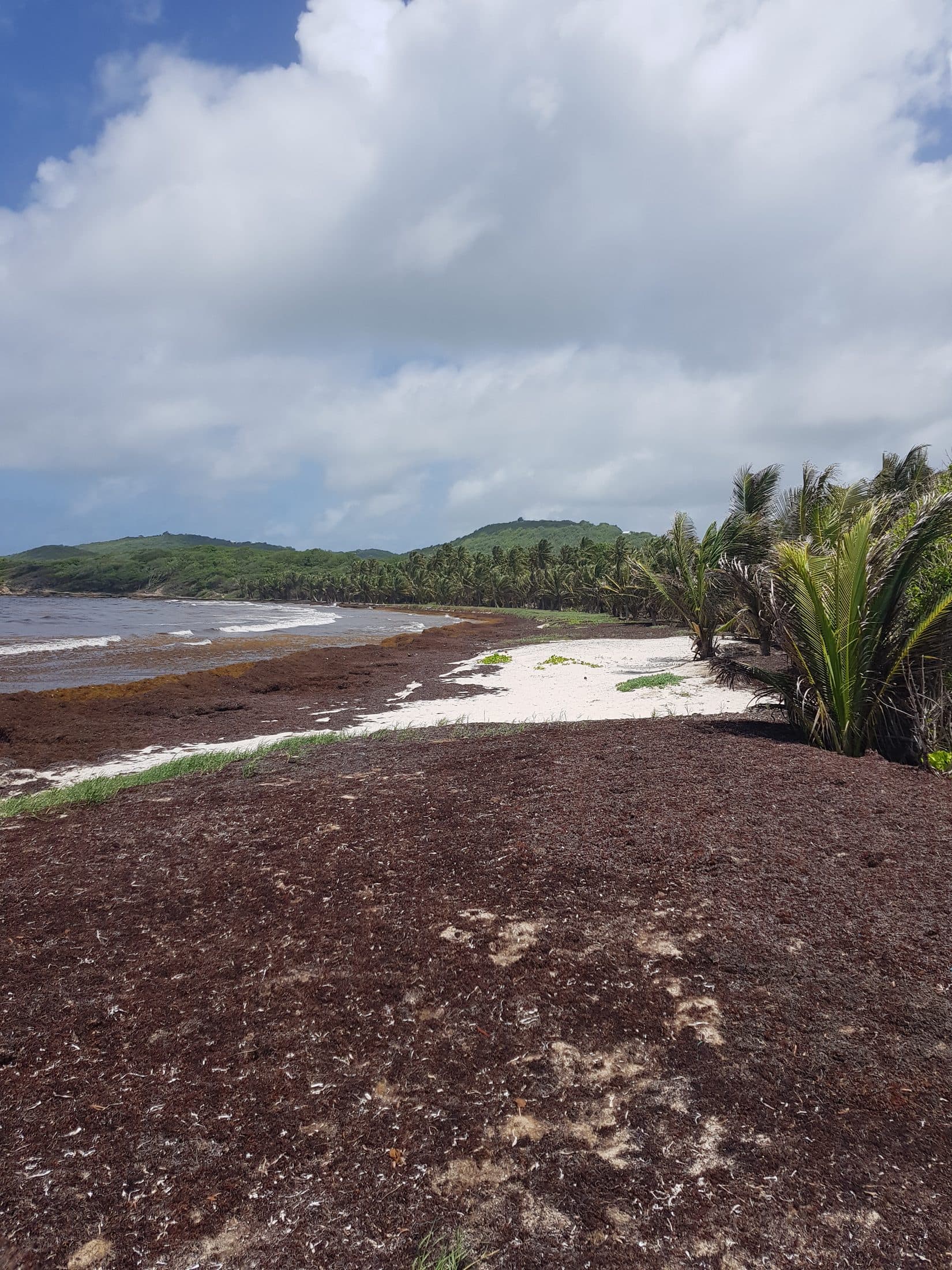
Petite and Grande Anse Macabou, two wild beaches in the south of the town, on the Trace des Caps.
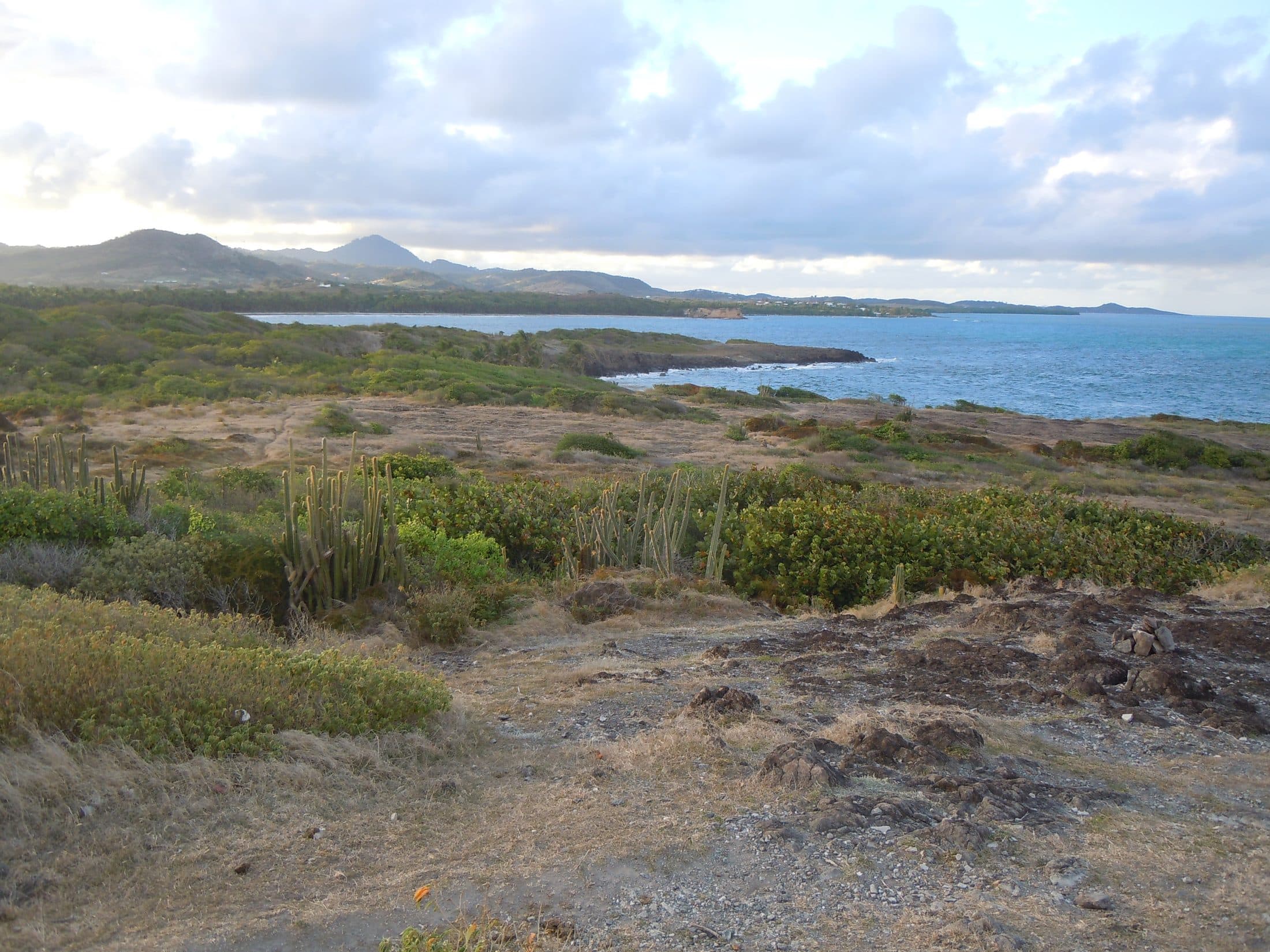
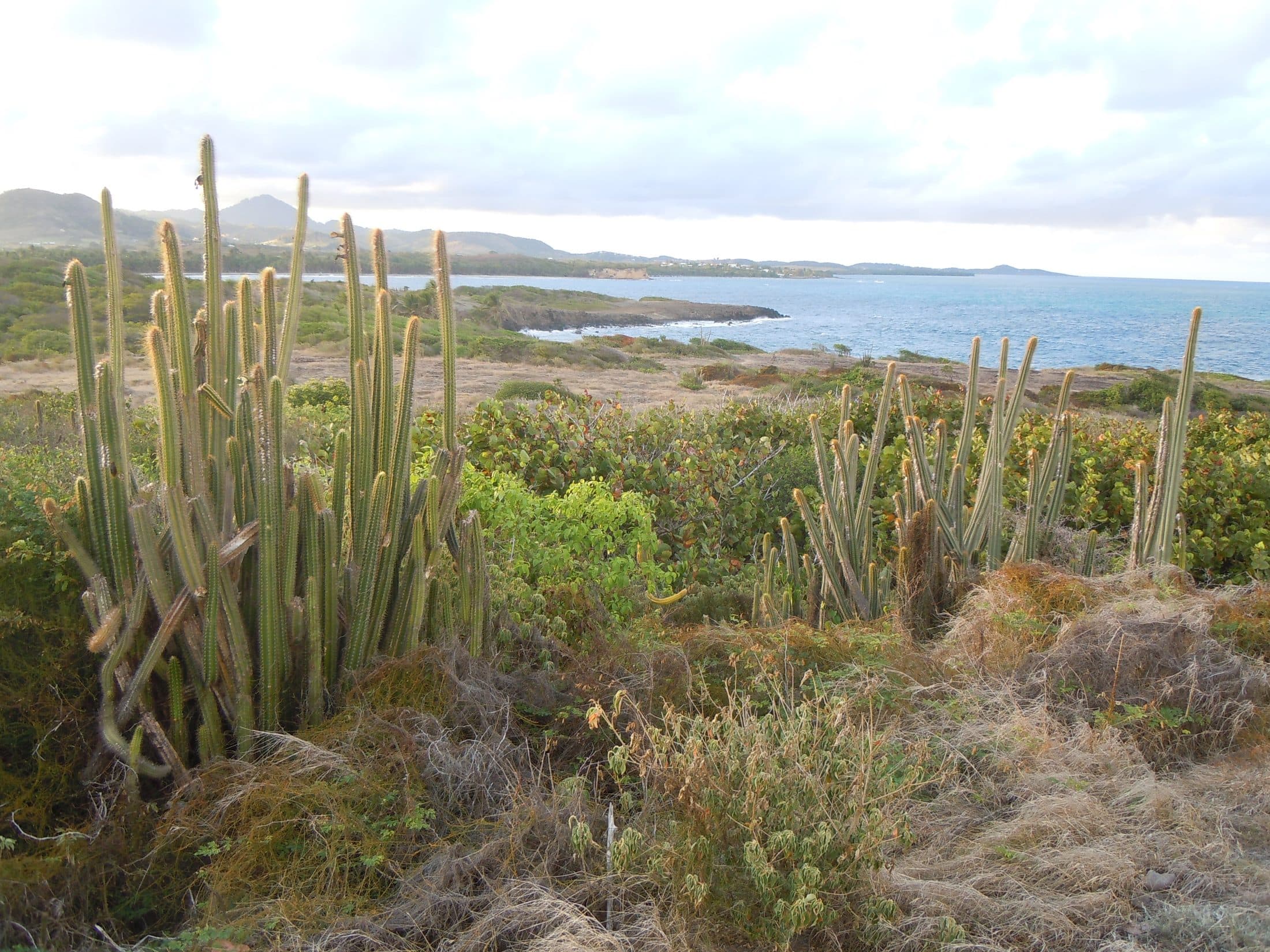
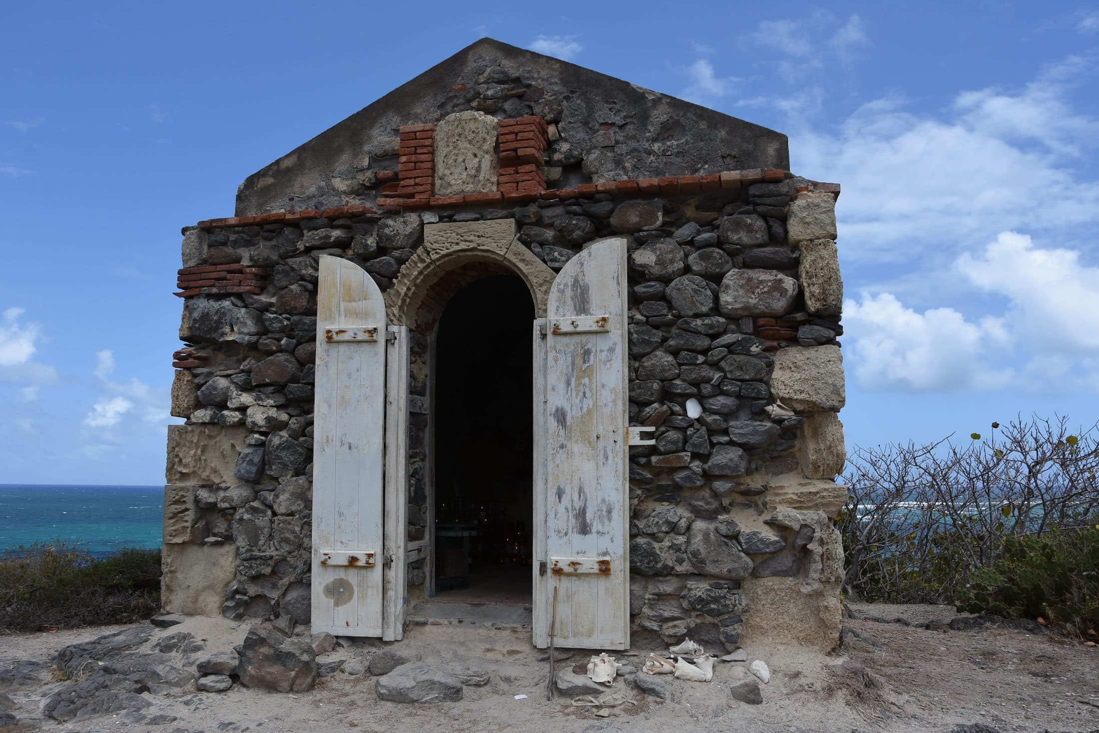
A protected natural site: coastal savannah, candle cacti facing the Atlantic, and the small chapel of the Virgin of the Sailors.
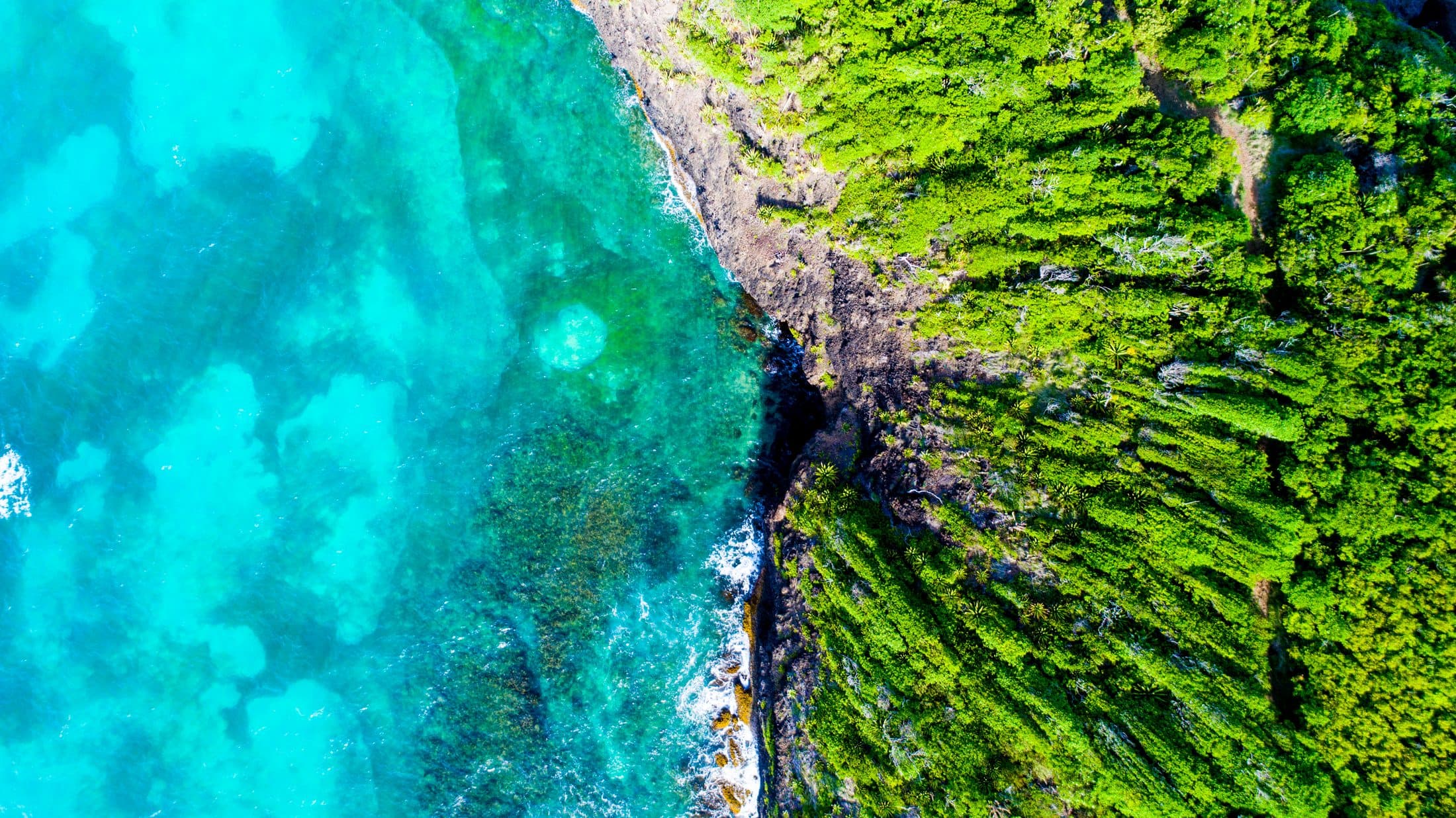
Boucle du Vauclin
North of the village, it follows the coast to Pointe du Vauclin and Trou Cochon, with several viewpoints over the lagoon.
Trace des Caps
The great southern coastal trail passes the Macabou coves and the Grand Macabou estate before heading on to Sainte-Anne.
Photographs published under free licences on Wikimedia Commons, shown unedited.
Map drawn from © OpenStreetMap contributors data (ODbL). Aerial photograph © IGN – BD ORTHO (Open Licence).